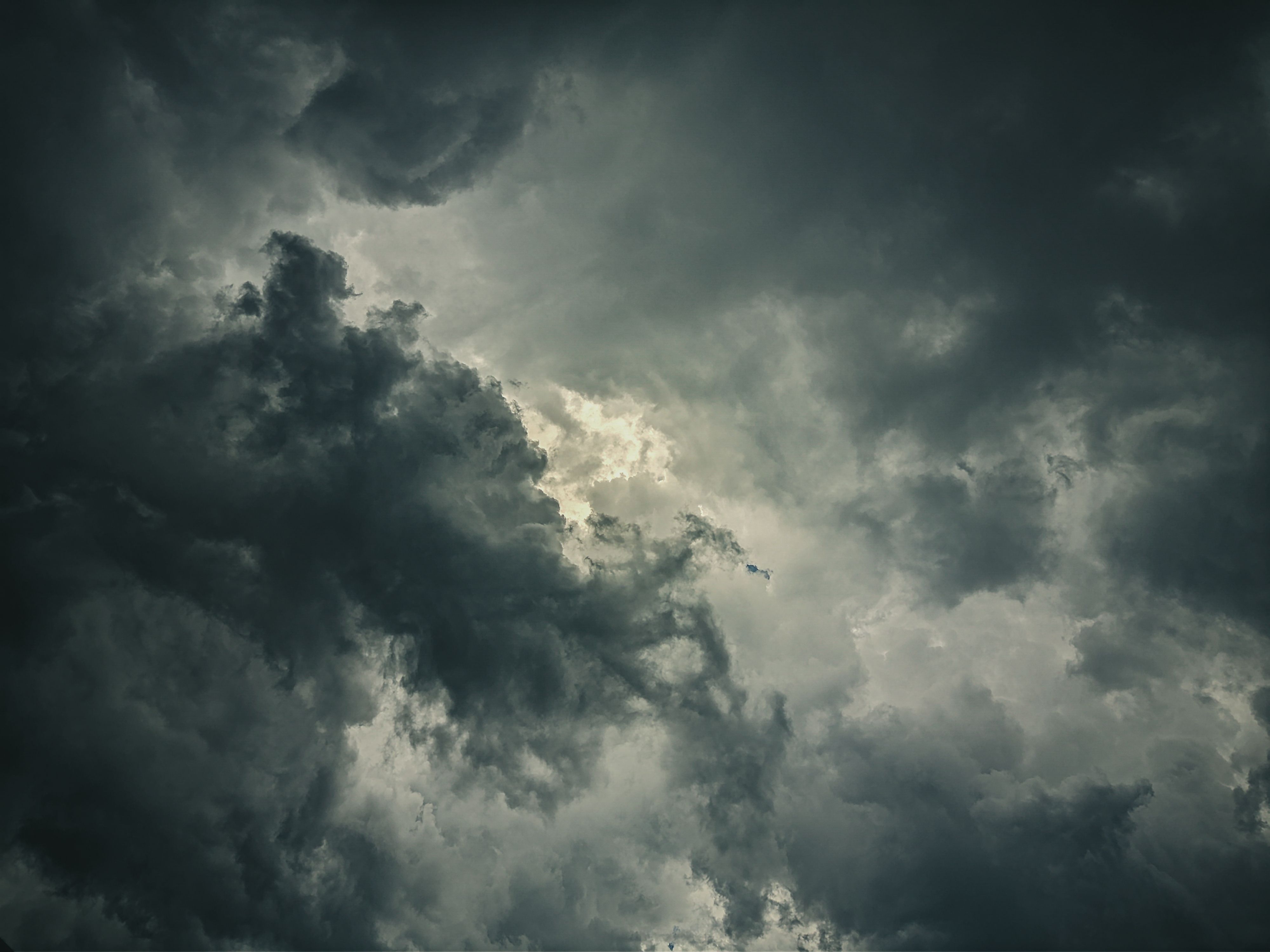
A cumulonimbus cloud can grow from a modest cumulus into a structure ten kilometres tall in under an hour. The speed is remarkable. The mechanism is not especially complicated once you understand what is happening to the air inside — but most explanations skip the part that makes it interesting, which is why the growth stops when it does.
The basic mechanism: unstable air rising
All convective clouds begin with the same situation: a parcel of air near the surface that is warmer than the air around it. Warm air is less dense, so it rises. As it rises, it expands — the surrounding pressure decreases — and that expansion cools it.
If the air in the parcel is dry, it cools at a predictable rate: about 10 degrees Celsius per kilometre of altitude gained. This is called the dry adiabatic lapse rate. As long as the parcel remains warmer than its surroundings at each altitude, it keeps rising.
At some point the parcel cools enough for water vapour to condense. This is the lifting condensation level — the base of any cloud you can see. From this point on, the cooling rate slows down. Condensation releases latent heat, which partially offsets the expansion cooling. The parcel now cools at roughly 6 degrees Celsius per kilometre, the saturated adiabatic lapse rate.
That matters enormously. Because the cooling rate has slowed, the parcel stays warmer than its surroundings for longer. It keeps rising. This is the self-reinforcing mechanism that drives deep convection.
What happens inside a developing cumulonimbus
Inside a mature thunderstorm, there are two distinct regions. An updraught — often at 30 to 50 metres per second in severe storms — carries warm moist air up through the cloud. A separate downdraught, fed partly by evaporating precipitation and partly by entrained dry air from outside the storm, brings cold air down.
The updraught is responsible for almost everything dramatic about the storm. It carries water droplets and ice crystals to great heights, where they participate in the charge separation process that generates lightning. It also sustains the cloud against the natural tendency of precipitation to fall out and collapse the whole structure.
In a disorganised or short-lived storm, the downdraught undercuts the updraught, the inflow of warm air is cut off, and the storm dissipates within an hour. In organised supercell thunderstorms, the two circulations are spatially separated and the storm can persist for several hours.
The tropopause: why the growth stops
Every cumulonimbus has a ceiling. That ceiling is the tropopause — the boundary between the troposphere (where weather happens) and the stratosphere above.
In the troposphere, temperature generally decreases with altitude. That is what makes convection possible: warm surface air can always be cooler than the air at lower altitudes, so it keeps rising. In the stratosphere, the relationship reverses. Temperature increases with altitude, primarily because ozone absorbs ultraviolet radiation from the sun.
When an updraught reaches the tropopause, it hits this temperature inversion. The air above is warmer than the rising parcel. The parcel is no longer buoyant. It can overshoot slightly — penetrating a few hundred metres into the stratosphere before losing momentum — but it cannot continue rising indefinitely.
The result is the characteristic flat anvil shape at the top of a mature cumulonimbus. The rising air hits the inversion, spreads out horizontally, and the ice crystals carried there are blown downwind into the classic anvil structure. The anvil is sometimes a reliable indicator of where severe weather has been, if not where it currently is.
Why the tropopause is at different heights in different places
In the tropics, the tropopause sits at around 16 to 18 kilometres. In mid-latitudes like Britain, it is closer to 10 to 12 kilometres. At the poles, it drops to around 8 kilometres.
This matters for thunderstorm severity. Tropical storms have more altitude available, can carry more moisture, and can sustain updraught speeds that mid-latitude storms rarely reach. British thunderstorms are typically shallower, shorter-lived and less severe — not because the mechanism is different, but because the ceiling is lower and the atmosphere holds less moisture to begin with.
The tropopause height also varies seasonally and day to day, which is why severe thunderstorm outbreaks in Britain are relatively predictable when they happen: they require an unusually high tropopause, large amounts of convective available potential energy, and a trigger mechanism such as a surface front or orographic lifting to initiate convection in the first place.
One thing most accounts leave out
Most explanations of cumulonimbus formation focus on the updraught and leave it there. What they tend to skip is the role of the environment through which the updraught rises — specifically, the vertical profile of temperature and humidity in the surrounding air.
The buoyancy of a rising parcel depends not just on its own temperature, but on the temperature difference between the parcel and the surrounding air at each level. A profile that is unusually unstable — where the environmental temperature drops very rapidly with altitude — means the parcel stays warmer than its surroundings for a much greater distance. The storm grows taller, the updraught is faster, and the energy available is larger.
Meteorologists measure this using a quantity called convective available potential energy, or CAPE. The higher the CAPE, the more energy is available to a rising parcel. It is a useful number for forecasting severe weather, though it says nothing on its own about whether convection will actually initiate — for that, you need a trigger.